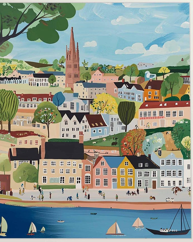
The Suffolk Coast Path: Rugged Beauty, Sandy Beaches
The Suffolk Coast Path is a 50 mile long distance path known for its diverse landscapes (salt marshes and heathland), running from the port town of Felixstowe (south Suffolk) to Lowestoft (north Norfolk).
Nearby Ness Point is the most easterly point in England, if you want to be the first person in England to watch the sun rise).
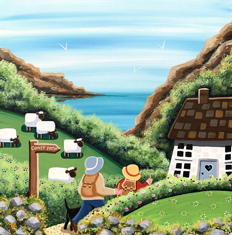
When out walking, always follow the Countryside Code, to keep all creatures safe. At the coast, read how to keep dogs safe by the seaside.
Don’t walk on sand dunes (to protect endangered natterjack toads) and keep you and dogs away from coastal birds and flowers (some are toxic) and seals. Join the campaign to ban flying rings, to help local seals.
Wildlife Wise is a project run by local people, to educate residents and visitors on how to avoid disturbance wildlife on the Suffolk coast (due to its vast estuaries of mudflats, saltmarsh, reedbeds, sea grass, lagoons, heathlands and freshwater wetlands and sea grass). Unique shingle and sand attract unusual plants and creatures.
Its projects include secure fencing, and a special ‘dogs-off lead’ area so dogs can play free, without disturbing local wildlife – what a great idea!
Orford Ness (where England’s first atomic bomb was tested), is now a nature reserve , run by National Trust. You can only reach it by a seasonal foot ferry, and that’s a good thing to prevent over-tourism.
It’s the largest vegetated shingle spit in Europe, so a habitat for many rare birds and plants. Who love the lagoons, reedbeds and marshes.