England’s Coastal Paths (the official routes)
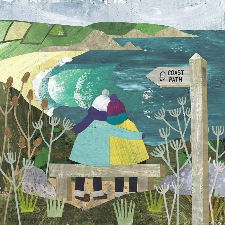
England has many official coastal path routes. Surprisingly, one of them actually isn’t Wainwright’s coast-to-coast path, as this kind of mostly is not on the coast!
Always follow the Countryside Code to keep all creatures safe. Keep dogs away from steep banks, mushrooms (and toxic plants/trees) and on leads near birds, barnyard friends and wild ponies.
If at the coast, keep away from nesting birds and never walk on sand dunes. Learn how to keep dogs safe by the seaside (check beach bans before travel).
Join the campaign to ban flying rings, to help local seals.
How to upright an overturned sheep
If when out walking you see a sheep on its back (due to pregnancy or rain-soaked wool), just firmly right it back (or it will die) then stay with it, until the rain has drained off.
The South West Coast Path: Minehead to Poole
The South West Coast Path unfurls for 630 miles, making it England’s longest national trail. Starting at Minehead in Somerset, the route hugs the coast through Devon and Cornwall, and ends in Poole, Dorset.
You’ll pass wild moorland, secluded coves, colourful harbours and windswept cliffs. Look for fossils on the Jurassic Coast, and watch for dolphins or seals if you’re lucky. Many walkers choose to tackle this route in sections, with each stretch revealing new seascapes and wildlife.
Northumberland Coast Path
The Northumberland Coast Path runs for 62 miles from Creswell to Berwick-upon-Tweed near the Scottish Border (you can just walk part, if you want)
If you do take the whole walk, most people take four to six days, which gives time for weather changes, stopping off and bus links.
Cresswell to Amble (quiet sands, dunes, birds)
Creswell is a small coastal village with a rich history, where you begin (or end, if going the other way) the walk. Prehistoric footprints from 7000 years ago show that ancient people lived here.
There is also a story of a 14th century ghost – a young woman who died of a broken heart, after her brothers killed her Danish prince beau on the beach. She can occasionally be seen gazing out to sea from a local roof tower.
A local heroine (like Northumberland’s Grace Darling) was Margaret Brown, who led a human chain during a fierce storm to rescue sailors from a shipwrecked Swedish steamer in 1876.
Amble to Seahouses (harbours, villages, coast)
This middle section is home to the best-known sites, including the village of Warkworth, Dunstanburgh castle and Bamburgh with its castle and beach. Seahouses offers shops and a bed/food for the night.
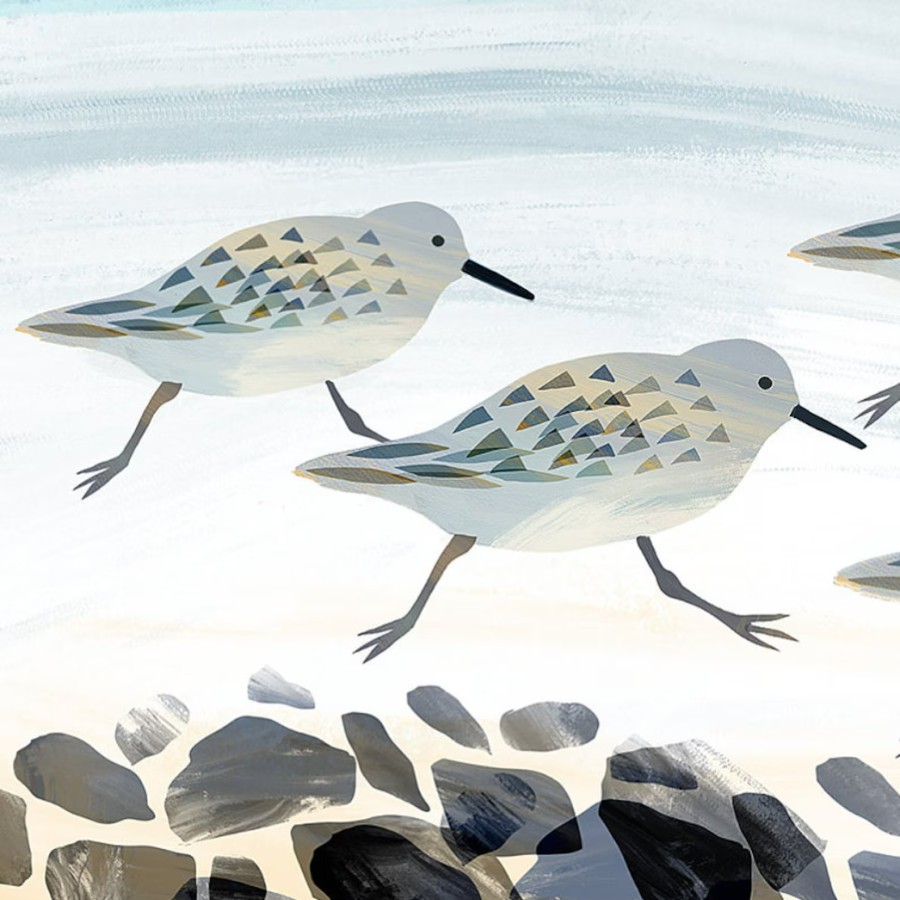
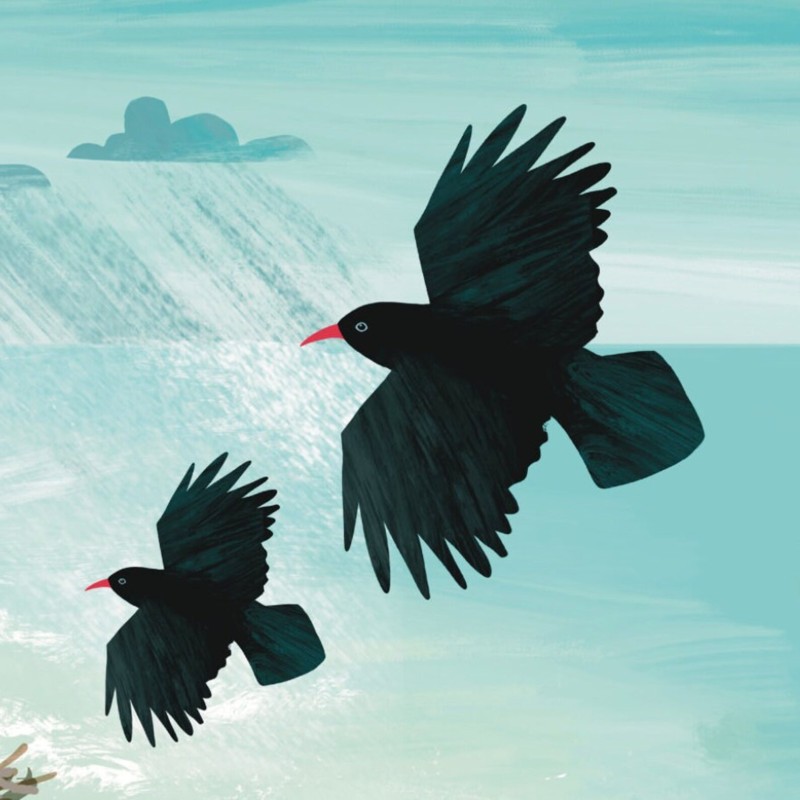
This faces over to The Farne Islands, home to 40,000 pairs of puffins during breeding season, colonies of Atlantic grey seals, and over 200,000 breeding pairs of Arctic terns, guillemots, razorbills, and eider ducks.
Dogs (including assistance dogs) are not allowed on the Farne Islands, due to wildlife. A few ferry owners may let dogs stay with them (or enjoy local dog-friendly beaches (check seasonal restrictions).
There are three lighthouses on the Farne Islands. Longstone Lighthouse is linked to the rescue by Grace Darling and her father Robert in 1838 (rowing out to save shipwreck survivors, in rough seas).
Seahouses to Berwick-upon-Tweed
Berwick-upon-Tweed is just a few miles from the Scottish border, it even has its own tweed, due to having changed hands many times in history.
This is England’s most northerly town, on the mouth of the River Tweed. It has Elizabethan town walls and the ruins of a castle, three bridges and a beautiful coast.
The nearby coastal villages are now best-known, for being locations for the Scottish crime series Taggart, when it was still filmed.
The Suffolk Coast Path
The Suffolk Coast Path is a 50 mile long distance path known for its diverse landscapes (salt marshes and heathland), running from the port town of Felixstowe (south Suffolk) to Lowestoft (north Norfolk).
Nearby Ness Point is the most easterly point in England, if you want to be the first person in England to watch the sun rise).
Wildlife Wise is a project run by local people, to educate residents and visitors on how to avoid disturbance wildlife on the Suffolk coast (due to its vast estuaries of mudflats, saltmarsh, reedbeds, sea grass, lagoons, heathlands and freshwater wetlands and sea grass). Unique shingle and sand attract unusual plants and creatures.
Its projects include secure fencing, and a special ‘dogs-off lead’ area so dogs can play free, without disturbing local wildlife – what a great idea!
Orford Ness (where England’s first atomic bomb was tested), is now a nature reserve , run by National Trust. You can only reach it by a seasonal foot ferry, and that’s a good thing to prevent over-tourism.
It’s the largest vegetated shingle spit in Europe, so a habitat for many rare birds and plants. Who love the lagoons, reedbeds and marshes.
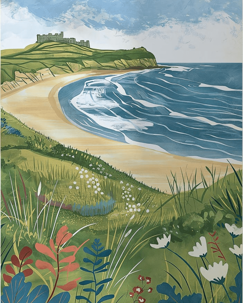
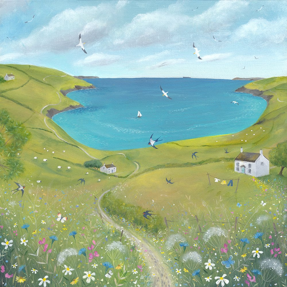
The Norfolk Coast Path
The Norfolk Coast Path offers tidal marshes, sandy beaches and big skies. Starting from the cliffs at Hunstanton, this waymarked route travels through flat, soft paths for an easier long walk.
While Wells-next-the-Sea and Cromer add classic English charm, birdwatchers flock to Blakeney Point and Cley Marshes, where grey seals and rare birds gather.
The Peddars Way starts at at Suffolk (near Thetford) and follows the route for 49 miles to Holme-next-the-Sea on the North Norfolk Coast.
The Norfolk Coast passes through:
Blakeney (this former medieval port has narrow streets with flint cottages and hosts England’s largest grey seal colony and many bird breeding sites. Known in history as Bolshy Blakeney, this was because it was a very independent town that established a society in 1946 to keep homes affordable for local people.
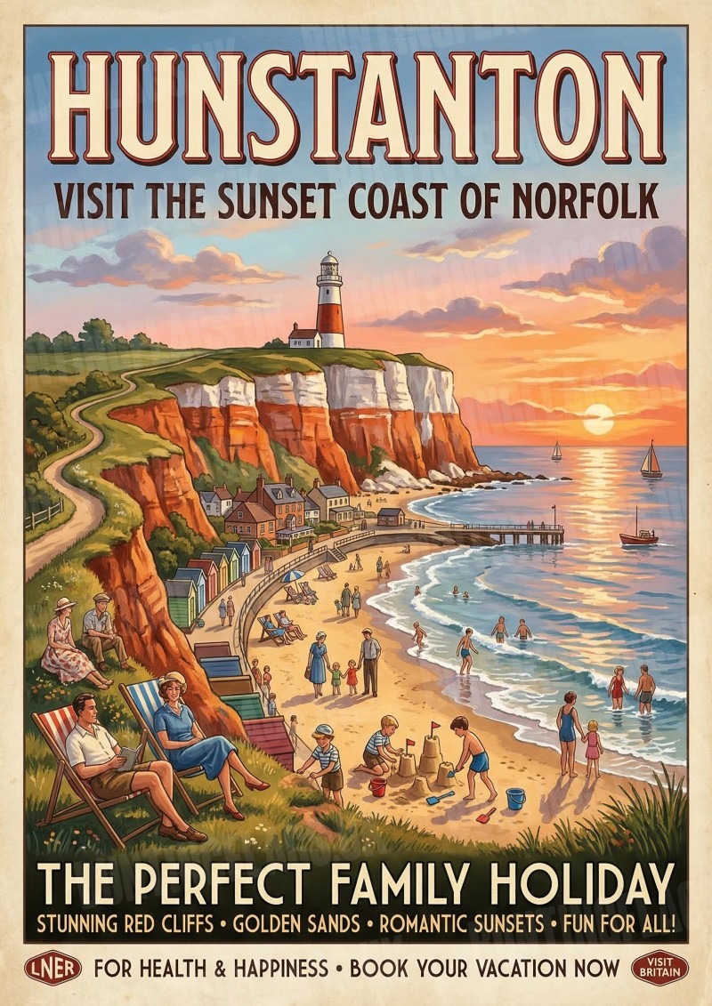
Hunstanton (known as ‘sunny hunny’), this Victoria seaside resort has red-and-white striped cliffs and is one of the few places on the east coast you can watch the sunset over the sea, due to the west-facing beach. It’s also home to the River Hun (at just 3 miles, one of the shortest in England).
Sea Palling (‘Norfolk’s secret’) is a charming North Norfolk village where sheltered bays are now protected by artificial reefs, and visitors are advised to stay away from the large seal colonies. This village was very affected by the 1953 North Sea flood, commemorated at the local church.
The flood (caused a high spring tide that surged over sea walls in a bad storm) killed seven local people. The flood’s effects ended up creating the Thames Barrier, many years later.
The Peddars Way starts at at Suffolk (near Thetford) and follows the route for 49 miles to Holme-next-the-Sea on the North Norfolk Coast.
The route is roughly 130 km (about 80 miles). Most walkers break that into several days. Underfoot, expect a mix of firm paths, sea walls, field edges, dunes, beach, and some shingle. Because of that, difficulty depends on weather and route choice. Flat ground can still feel hard, especially on loose sand.