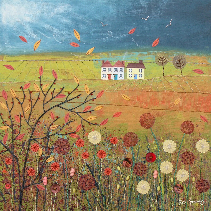
What Causes England’s Gale Force Winds?
Wind is basically caused by differences of atmospheric pressure (the rising and sinking of air). Low pressure is when rises, and high pressure is when it sinks. Wind can be good (a gentle sea breeze or a nice way to get your washing dry outside). It does tend to blow cheap umbrellas inside-out so read our post on windproof umbrellas (avoid using umbrellas in thunderstorms, see below).
Read how to keep safe in thunderstorms and lightning.
The phrase “gale force wind” describes a specific strength: winds that hit or exceed 32 knots (37 mph) on the Beaufort scale. In England, these gales are usually born far out in the Atlantic Ocean where huge, swirling low-pressure systems form. The jet stream, a high-speed ribbon of air miles above the earth, acts like a conveyor belt. It steers these deep depressions directly towards the British Isles.
Picture wind as a river of air. Sometimes, these rivers flow gently, but when a pressure difference sharpens (like between a deep low and a stubborn high), the air is squeezed tighter and flows faster. When these rivers of wind encounter valleys, hills, or steep coasts, the effect is intensified, whipping up gusts that can rattle windows.
Unlike hurricanes and typhoons—which spin up in tropic seas—England’s gales come from “extratropical” storms. These storms feed on the sharp contrast between cold polar air and mild Atlantic air. When a frontal system sweeps in, the clash of temperatures creates an engine for strong winds and driving rains.
As moist air rises in the storm, it cools and forms clouds thick with droplets and ice. The friction between particles generates static electricity. When enough charge builds up, it snaps through the sky in a bolt of lightning, followed instantly by thunder. On a stormy night, it can feel like nature itself is putting on a show.
Deep lows, pressure gaps and jet streams
England’s gales usually start far out over the North Atlantic. A low pressure system forms or deepens where warm and cold air meet. This low then travels east, often towards Ireland, Scotland, or northern England. As it approaches, the air pressure falls, and the pressure difference between the low and nearby higher pressure grows.
That difference matters because air always tries to move from high pressure to low pressure. The bigger the gap, the faster the air rushes in. Think of it like water flowing down a steeper slope. A gentle slope gives a slow stream, a steep one gives a fast rush.
The jet stream often sits above all this, several kilometres up. It’s a fast river of air that helps steer Atlantic depressions. When the jet stream is strong and positioned over or near the UK, storms can deepen quickly and arrive with less warning time. As a result, England can go from breezy to gale force in a few hours.
Where do fronts fit in? A deepening low usually comes with a warm front, then a cold front. The cold front is often the “hit point” for sharp gusts, squally rain, and sudden changes in wind direction. Behind it, cooler air pours in and the weather turns showery, sometimes still windy, but with more ups and downs.
What a “tight pressure gradient” really means
The pressure gradient is just the change in air pressure over distance. A tight pressure gradient means pressure changes a lot over a short distance, so the wind speeds up.
On a UK Met Office surface pressure chart, you’ll see curved lines called isobars. Each line marks the same air pressure. When isobars are widely spaced, winds tend to be lighter. When they’re packed close together around a low, winds rise because the pressure gradient is steeper.
Look for a deep “L” with many close isobars wrapping around it, especially if those lines cross England or sit just offshore. That’s when widespread strong winds become likely, not just in one town but across regions.
Also, keep in mind that forecasts often give a steady wind speed and separate gusts. Gusts can be much higher than the average, especially near coasts, hills, and during heavy showers.
How the Atlantic and the jet stream team up
The North Atlantic is a factory for depressions because it has two key ingredients: moisture and contrast. Warm, moist air from lower latitudes can meet colder polar air pushing south. That boundary acts like a battleground, and the bigger the temperature contrast, the more energy is available for storm growth.
The jet stream feeds into this by helping air rise and fall in the right places. When conditions line up, pressure drops faster, isobars tighten, and the wind field expands. On the ground in England, that shows up as a long spell of strong south-westerlies, then a sharper burst as a cold front passes.
Season plays a part too. Late autumn and winter usually bring more frequent and stronger gales because the temperature difference across the Atlantic tends to be greater, and the jet stream often strengthens. Still, blustery, gale-prone systems can happen in spring, and even in summer, especially with active fronts and fast-moving lows.
Why storm winds can be uneven
One reason wind feels so uneven is simple: the atmosphere meets the ground, and the ground is messy. The same Atlantic depression can produce moderate winds in a sheltered spot and violent gusts a few miles away.
Wind direction also changes the story. A south-westerly can rake long stretches of open water before it hits the south west and Channel coasts. That long “fetch” helps build bigger waves and rougher conditions near shore. Meanwhile, a northerly might hit the east coast harder, while leaving some western valleys comparatively calmer.
Buildings and trees add another layer. In towns and cities, wind can whip round corners and accelerate along straight streets, especially between tall blocks. That’s why a “windy day” on the weather app can feel like a slap in the face at one crossing, then almost normal on the next street.
Coasts, hills, and valleys that speed up wind
Exposure matters. Atlantic-facing coasts such as Cornwall and Devon often take the first hit, while Cumbria and Northumberland can also see strong coastal gusts when winds line up with open sea.
Upland areas can intensify wind too. Air speeds up over ridges and escarpments, and it can funnel through gaps and valleys like water through a narrow channel. The Pennines often play a role here, creating faster flows on some routes and sheltered “wind shadows” on others.
Impacts can also worsen in winter for reasons that are not purely meteorological. Wet ground loosens roots, and leafless trees catch gusts differently. So, similar wind speeds can lead to more fallen branches in a stormy January than in a leafy July.
Cold fronts, squalls, and thunderstorms
Many of the strongest gusts arrive in short bursts, not as a constant roar. Often the peak comes with or just after a cold front, when heavy rain sweeps through and the wind briefly surges. Visibility drops, spray lifts off roads, and driving suddenly feels tense.
In showery air behind a front, squall lines can form. These are narrow bands of intense showers that act like moving gust factories. Some showers can also drag faster air down from higher up, creating a sudden, local blast at the surface. You might hear this described as a downburst, but you don’t need the term to recognise it, it’s the “where did that come from?” gust that rattles windows for 20 seconds.
Who Has Seen the Wind? (nature poetry break)
This short poem is by Christina Rossetti, who although she had Italian heritage, is one of England’s most celebrated poets:
Who has seen the wind?
Neither I nor you.
But when the leaves hang trembling,
The wind is passing through.
Who has seen the wind?
Neither you nor I.
But when the trees bow down their heads,
The wind is passing by.