England’s tidal causeways (check the timetables!)

Lindisfarne, Ava Lily
England has many tidal causeways, where at low tide you can walk to the islands. But at high tide, they get cut off from the mainland.
Always check tide times (and dog beach bans) before travel to avoid cars getting stranded and coastguards having to rescue you. It’s also advised to avoid crossing in wind, rain or fog. Read more on keeping dogs by the seaside.
Lindisfarne, Northumberland
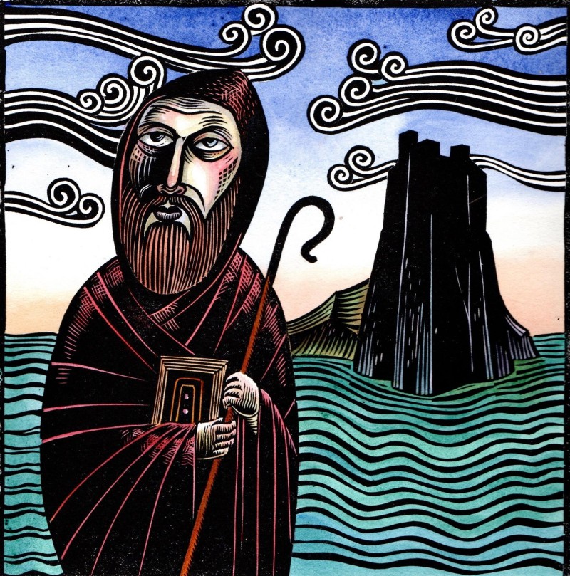
Also known as Holy Island (due to a rich history of hermit saints living there in the past), this has a rapidly-rising tidal causeway, often covering the road in minutes. Local signs provide guidance, reminding travellers of the next tide.
One saint who lived here was St Aidan from Ireland (he spoke Gaelic), who had already lived as a monk on Isle of Iona in the Scottish Highlands. He died in Bamburgh on the Northumbrian coast. He is now known as the one who converted all the Northumbrian heathens to Christianity!
There is a lovely story about St Aidan, in that he made a stag invisible, so it would not been seen by hunters. Wouldn’t that be lovely if someone could do that today?
Another saint associated with this tiny island is St Eadberht (a bishop who is now buried in Durham cathedral).
St Michael’s Mount, Cornwall
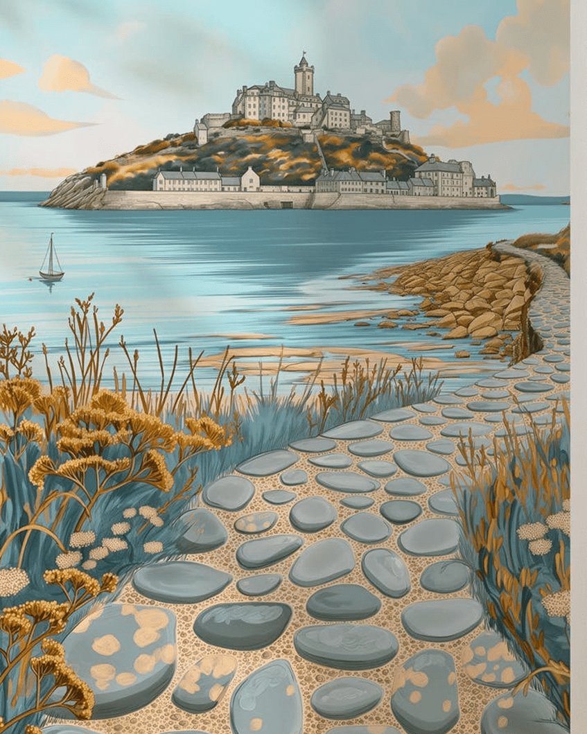
This causeway (above image) is linked to the town of Marazion, managed by the National Trust. In 1755, a Lisbon earthquake caused a tsunami.
The sea rose 6 feet in 10 minutes, rising and falling for 5 hours, causing loss of life and property.
No dogs are allowed on the island during warmer weather (due to lack of shady areas) and some dog beach restrictions apply.
Burgh Island, Devon
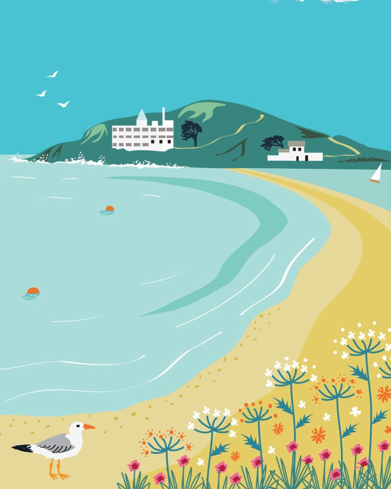
This lies off the South Devon coast, near the village of Bigbury-on-Sea. It only has a hotel (used in Agatha Christie period dramas) and a pub. At high tide, there is a unique sea tractor, to ferry guests to and from the island.
Mersea Island, Essex
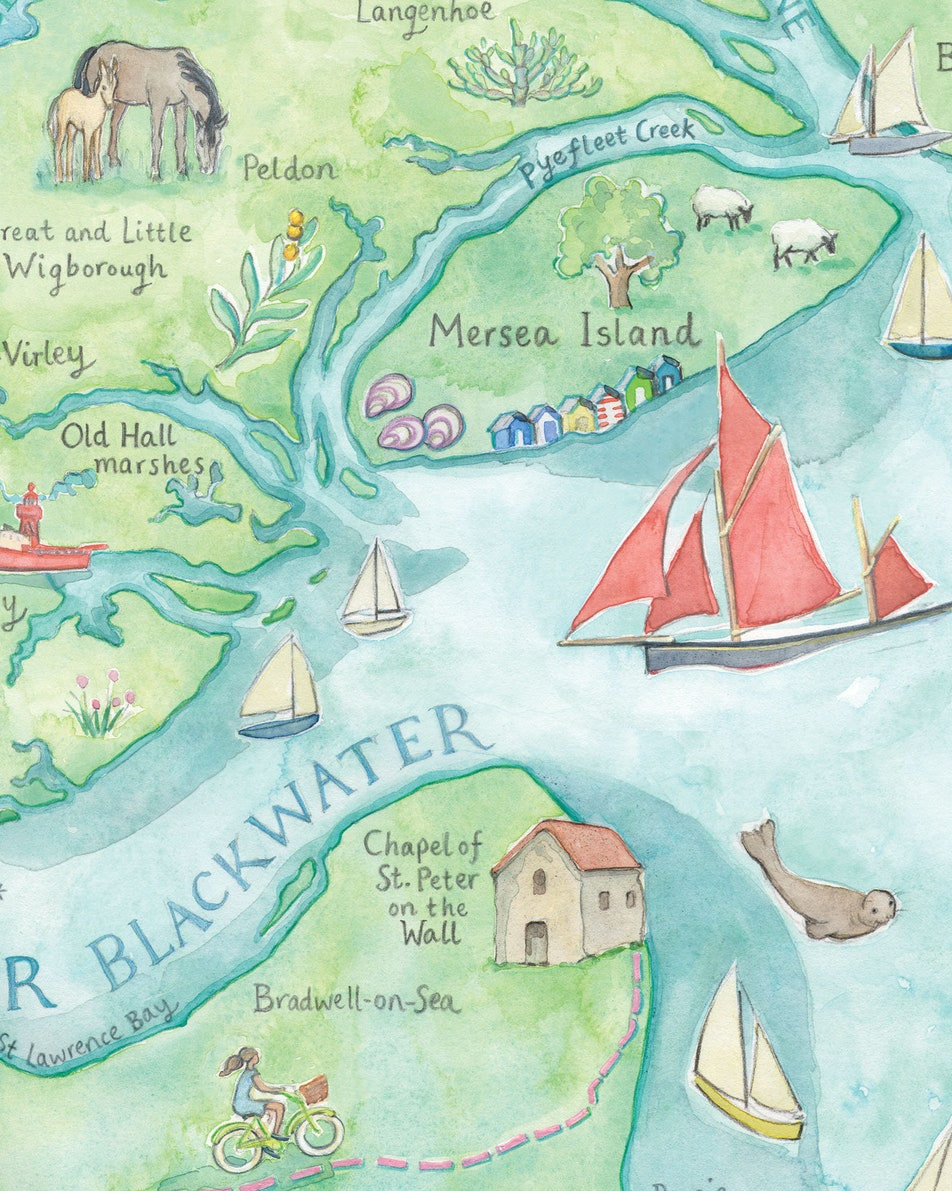
This looks like a Caribbean island, but is just 9 miles south of Colchester! It connects to the mainland via the Strood, a causeway that floods at high tide. Like Norfolk and Suffolk, it’s famed for its pretty pastel-coloured beach huts.