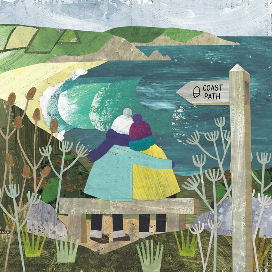
Let’s Walk the National Coast Paths of England
England has many official coastal paths, let’s take a look at the main ones.
King Charles III England Coast Path is the longest coastal path in the world, weaving through 15 National Parks and National Landscapes, with dramatically changing scenery.
- When out walking, always follow the Countryside Code, to keep all creatures safe. At the coast, read how to keep dogs safe by the seaside.
- Check tide times before travel, don’t walk on sand dunes and keep yourself and dogs away from coastal birds (and flowers, some are toxic) and marine creatures. Keep numbers to hand to report concerns for: farm animals, wildlife or marine creatures.
- Read about keeping dogs safe by the seaside (check beach bans before travel and keep dogs away from cliffs, seaweed, palm oil, uncapped mine shafts and jellyfish.
Pregnant sheep (and sometimes due to wool waterlogged from rain) can sometimes roll over onto their backs, and can’t get back upright, due to having four stomach chambers (so will die if not turned back upright).
If you see a sheep on its back, just firmly right it back, then stay with it, until rain has drained off, so it won’t happen again. Then inform your local farmer.
The trail is opening in sections:
- North West is from the Scottish border at Gretna Green. It stretches to the Chester and Welsh border, passing through the Lake District to Liverpool and Blackpool.
- North East is from the Scottish border above Berwick, to seaside holiday resorts. Passing sheltered coves and cliffs, and seabird colonies.
- East is from the Wash to the Thames Estuary, exploring sand dunes (don’t walk on them), market towns and villages and stunning seascapes.
- South East stretches from the Thames Estuary to Bournemouth, a huge stretch of coast, plus empty beaches and nature reserves.
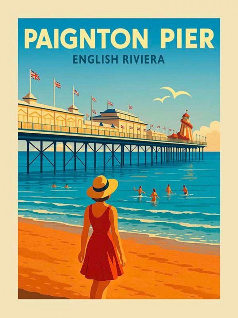
- South West is from the Welsh border at Chepstow to Bournemouth, along dramatic coastlines. It links coastal resorts, towns and villages, plus piers, promenades and estuaries.
Wainwright’s Coast-to-Coast Walk (St Bees to Robin Hood’s Bay)

Robin Hood’s Bay, Julia Crossland
Alfred Wainwright’s Coast-to-Coast Walk lets you cross northern England from St Bees (on the Irish Sea in northwest England) to end when you paddle your toes in the village of Robin Hood’s Bay, on the North Sea in East Yorkshire.
The Cumbrian part is more hilly, giving way to rolling hills of the east, or of course you can do it the other way around. Herdwick sheep of the lakes soon give way to the curly-horned Swaledales as you move on.
You can walk a portion of the walk, or stay in guest houses for a walk that will take a few weeks. There is a train stop at St Bees (Robin Hood’s Bay is a short bus or taxi ride from Whitby).
Who Was Alfred Wainwright?
Alfred was a fell guide writer, who took a pay drop to move the Lake District. After an unhappy first marriage, he married the love of his life (on condition that she walked several paces behind him, and didn’t talk on their walks!)
It seemed to work, as they remained blissfully happy until he died of natural causes, at a ripe old age.
Contours has accommodation (look for the pawprint icon for dog-friendly trails – you can book just part of the walk). Mickledore offers part-of-the-walk holidays too, but not everywhere is dog-friendly.
Official guidebooks feature details on places to stay and camp, plus local pubs. Or go for the older but more interesting guide by Alfred himself, with pictures (updated regularly).
You can report damaged paths or overgrown hedgerows. Alfred was extremely fond of nature and wildlife, and donated profits from his books to animal charities. A local animal shelter is even named after him.
The South West Coast Path: Minehead to Poole
The South West Coast Path unfurls for 630 miles, making it England’s longest national trail. Starting at Minehead in Somerset, the route hugs the coast through Devon and Cornwall, and ends in Poole, Dorset.
You’ll pass wild moorland, secluded coves, colourful harbours and windswept cliffs. Look for fossils on the Jurassic Coast, and watch for dolphins or seals if you’re lucky. Many walkers choose to tackle this route in sections, with each stretch revealing new seascapes and wildlife.
The Norfolk Coast Path (Hunstanton to Sea Palling)
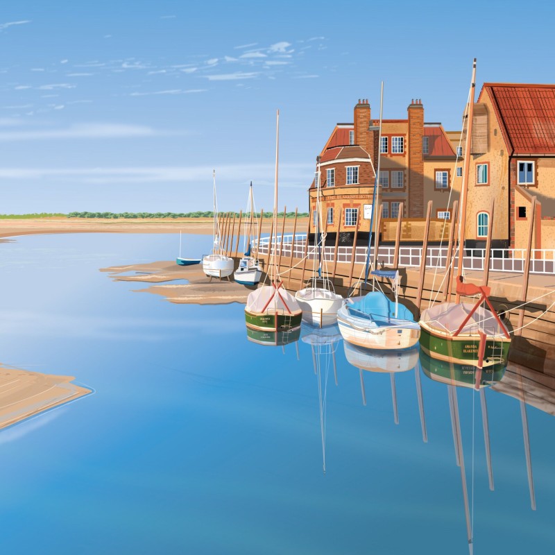
Blakeney, Geraldine Burles
England is surrounded by coast, so it makes sense that there are several coast paths that you can walk. You can just walk a section, or take an entire holiday and walk one over a few weeks.
The flat, soft paths make it an easier long walk. While Wells-next-the-Sea and Cromer add classic English charm. Birdwatchers flock to Blakeney Point and Cley Marshes, where grey seals and rare birds gather.
The Peddars Way starts at at Suffolk (near Thetford) and follows the route for 49 miles to Holme-next-the-Sea on the North Norfolk Coast.
The Suffolk Coast Path: Rugged Beauty, Sandy Beaches
The Suffolk Coast Path is a 50 mile long distance path known for its diverse landscapes (salt marshes and heathland), running from the port town of Felixstowe (south Suffolk) to Lowestoft (north Norfolk).
Nearby Ness Point is the most easterly point in England, if you want to be the first person in England to watch the sun rise).
Wildlife Wise is a project run by local people, to educate residents and visitors on how to avoid disturbance wildlife on the Suffolk coast (due to its vast estuaries of mudflats, saltmarsh, reedbeds, sea grass, lagoons, heathlands and freshwater wetlands and sea grass). Unique shingle and sand attract unusual plants and creatures.
Its projects include secure fencing, and a special ‘dogs-off lead’ area so dogs can play free, without disturbing local wildlife – what a great idea!
Orford Ness (where England’s first atomic bomb was tested), is now a nature reserve , run by National Trust. You can only reach it by a seasonal foot ferry, and that’s a good thing to prevent over-tourism.
It’s the largest vegetated shingle spit in Europe, so a habitat for many rare birds and plants. Who love the lagoons, reedbeds and marshes.
Northumberland Coast Path: Cresswell to Berwick-upon-Tweed
The Northumberland Coast Path goes for 62 miles from Berwick in the north to Cresswell in the south. The walk also takes in Seahouses, which faces out to the Farne Islands.. It’s mostly flat.
Offshore, seabirds wheel over the Farne Islands (no dogs allowed due to wildlife) while Bamburgh Castle stands bold against the endless sands. There’s a timeless feel to this part of England, with small harbours, quiet paths and wide open space all the way to Berwick-upon-Tweed.
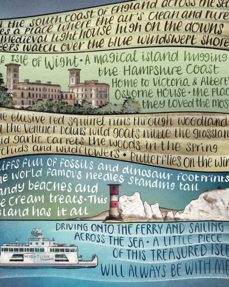
The Isle of Wight Coastal Path

Isle of Wight is England’s largest island, and smallest county (apparently depending on whether the tide is in or out – it swaps places with Rutland). Known for its beautiful beaches, Isle of Wight Coastal Path (circles the entire island) runs for 70 miles, circling the entire island.