What Causes England’s Gale Force Winds?
Wind is basically caused by differences of atmospheric pressure (the rising and sinking of air). Low pressure is when rises, and high pressure is when it sinks. Wind can be good (a gentle sea breeze or a nice way to get your washing dry outside). It does tend to blow cheap umbrellas inside-out so read our post on windproof umbrellas (avoid using umbrellas in thunderstorms, see below).
Read how to keep safe in thunderstorms and lightning.
The phrase “gale force wind” describes a specific strength: winds that hit or exceed 32 knots (37 mph) on the Beaufort scale. In England, these gales are usually born far out in the Atlantic Ocean where huge, swirling low-pressure systems form. The jet stream, a high-speed ribbon of air miles above the earth, acts like a conveyor belt. It steers these deep depressions directly towards the British Isles.
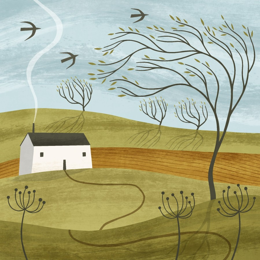
Picture wind as a river of air. Sometimes, these rivers flow gently, but when a pressure difference sharpens (like between a deep low and a stubborn high), the air is squeezed tighter and flows faster. When these rivers of wind encounter valleys, hills, or steep coasts, the effect is intensified, whipping up gusts that can rattle windows.
Unlike hurricanes and typhoons (which spin up in tropical seas), England’s gales come from storms that feed on the sharp contrast between cold polar air and mild Atlantic air. When a frontal system sweeps in, the clash of temperatures creates an engine for strong winds and driving rains.
As moist air rises in the storm, it cools and forms clouds thick with droplets and ice. The friction between particles generates static electricity. When enough charge builds up, it snaps through the sky in a bolt of lightning, followed instantly by thunder.
England’s gales usually start far out over the North Atlantic. A low pressure system forms or deepens where warm and cold air meet. This low then travels east, often towards Ireland, Scotland, or northern England. As it approaches, the air pressure falls, and the pressure difference between the low and nearby higher pressure grows.
Coasts, hills & valleys speed up wind
Atlantic-facing coasts such as Cornwall and Devon often take the first hit, while Cumbria and Northumberland can also see strong coastal gusts when winds line up with open sea.
Upland areas can intensify wind too. Air speeds up over ridges and escarpments, and it can funnel through gaps and valleys like water through a narrow channel. The Pennines often play a role here, creating faster flows on some routes and sheltered “wind shadows” on others.
Poetry Break: Who has seen the wind?
This short poem is by Christina Rossetti, who although she had Italian heritage, is one of England’s most celebrated poets:
Who has seen the wind?
Neither I nor you.
But when the leaves hang trembling,
The wind is passing through.
Who has seen the wind?
Neither you nor I.
But when the trees bow down their heads,
The wind is passing by.