Let’s Visit The Ten National Parks of England
England has 10 national parks (if you include the Norfolk and Suffolk Broads). All have protected status, so let’s visit them and learn more.
When out walking, always follow the Countryside Code, to keep all creatures safe. At the coast, read how to keep dogs safe by the seaside.
Pregnant sheep (and sometimes due to wool waterlogged from rain) can sometimes roll over onto their backs, and can’t get back upright, due to having four stomach chambers (so will die if not turned back upright).
If you see a sheep on its back, just firmly right it back, then stay with it, until rain has drained off, so it won’t happen again. Then inform your local farmer.
The Lake District: England’s Largest National Park

The Lake District is England’s largest National Park, situated in the north west county of Cumbria. It’s a popular walking holiday destination.
England’s largest body of water is Lake Windermere (not a lake). In the news these days due to issues with sewage pollution). The area has strong literary connections (William Wordsworth warned not to put a railway station at Windermere, for fears of over-tourism). He was right.
The 16 Lakes of the Lake District
The Lake District actually only contains one ‘proper lake’ (the rest are tarns or other bodies of water). There are around 16 lakes in England’s largest National Park. Here’s a quick guide, so you know when you visit (or can win at your local pub’s general knowledge quiz!
- Bassenthwaite Lake is the only real ‘lake’ in the northern Lake District, overlooked by Skiddaw mountain, with wide open views and a surprising sense of calm, considering it’s near a main road. There are footpaths and cycling routes on the western shore, where ospreys like to nest, when visiting from Africa.
- Buttermere is framed by dramatic fells that rise from its shores. The easy path around the lake offers a quiet charm.
- Coniston Water is set below the Old Man of Coniston (mountain), a beautiful village with a shore walk, although in summer it gets busy with paddle steamers and tourists. This is a charming place with a zero waste shop, little veggie cafes and a tiny museum.
- The body of speed racer Donald Campbell (who died here in the 60s) was only recovered 20 years ago.
- Crummock Water is quite remote, just 3 miles long. And popular with wild swimmers.
- Derwent Water is on on the edge of the mountain town of Keswick, surrounded by wooded hills and gentle slopes. There are many islands scattered across this lake, plus a shore with easy walking paths, and views to Catbells mountain and Friar’s Crag.
- Elter water is a little lake with views of Great Langdale Valley and the four peaks: Pavey Ark, Loft Crag, Pike of Stickle and Harrison Stickle. Nearby Stickle Tarn has views over Great Langdale, with rock pools cut into the mountain, and dramatic waterfalls.
- Ennerdale Water is a little lake of wild beauty, with few crows. The rugged paths along the shore are popular with walkers. The area remains almost untouched, and the birds like it that way!
- Esthwaite Water is a tiny lake that’s home to visiting ospreys, within walking distance of the chocolate-box village of Hawkshead, and hamlet of Near Sawrey (which was home to writer Beatrix Potter). If you like peace and quiet, this is the ‘hermit’s lake!
- Grasmere is next to the village of the same name (the home and burial place of poet William Wordsworth. You can walk the lakeside to Ambleside, known for its pretty bridges and waterfalls.
- Haweswater is a wild lake, which sadly was home to England’s last golden eagle.
- Loweswater is another hidden lake, not a touristy place. graze and herons fish close to the shore, while buzzards fly overhead.
- Rydal Water is tucked away between Rydal village and Ambleside, surrounded by woodland, trails and small beaches for ‘dipping your toes’. Walkers love the quiet paths and narrow lakeside trails, shaded by trees.
- Thirlmere is on the border of the south/north Lake District, surrounded by forests. It’s near to Helvellyn mountain, one of England’s highest climbs. It’s more enclosed than other lakes, passing through pine woods and open moor.
- Ullwater is a large lake (7.5 miles) that is set below the wild peaks of Helvellyn and Place Fell, and home to Aira Force Waterfall.
- Wastwater is England’s deepest lake, surrounded by Scafell Pike – England’s highest mountain that is only for experienced climbers). The setting has earned this lake the title of ‘Britain’s Favourite View’.
The Peak District (England’s Oldest National Park)
The Peak District was opened back in 1951, after years of campaigning by local people, who were banned from walking near areas owned by rich landowners.
It’s one of England’s most popular walking holiday destinations, if only because it’s very accessible to people living in the surrounding counties. Covering over 550 square miles, this is full of rolling hills, valleys and villages.
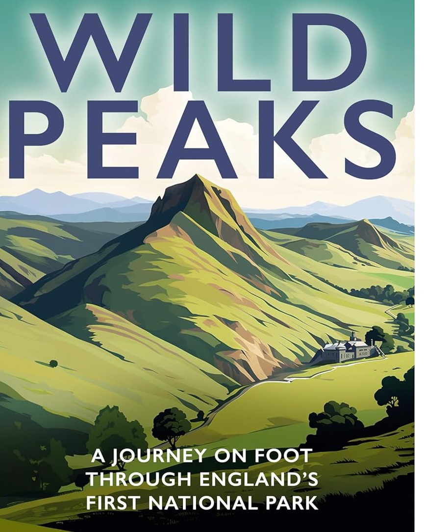
Wild Peaks is a journey on foot by travel writer Tom Chesshyre through the Peak District National Park, which is more than the ‘howling wilderness’ that Daniel Defoe described 300 years ago.
Designed to let hikers escape from industrial Manchester and Sheffield, this Park is home to ridges of rock, peat, farms, villages, cloughs and taverns.
How has the dramatic landscape fared in the last 75 years? Tom hits the trails on a 363-mile ramble to find out, and to celebrate the symbolic home of hiking. Following winding paths, passing at old inns and mountain huts and meeting a rich cast of historians, mountaineers and publicans.
Northumberland National Park
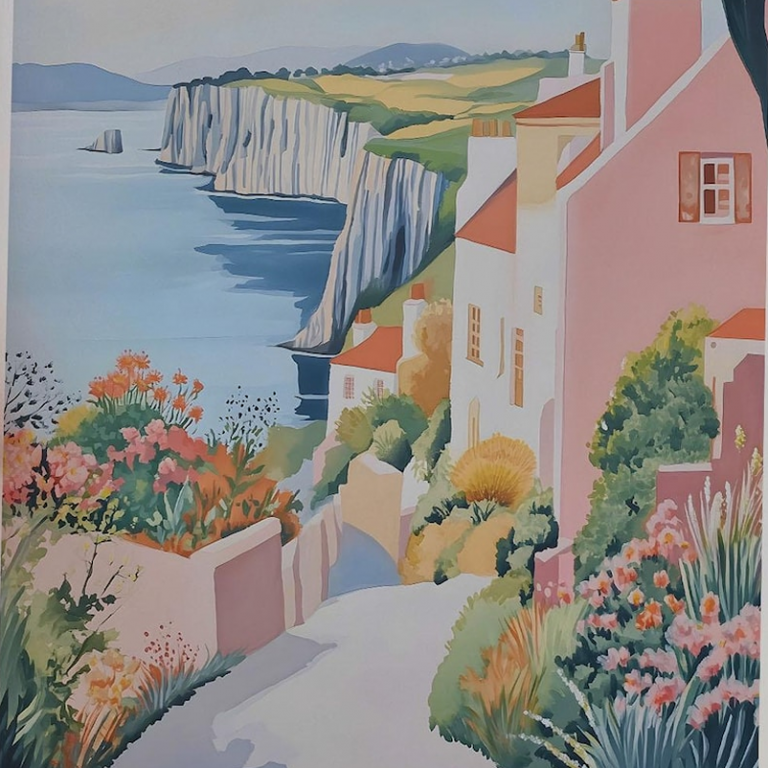
Beadnell, Pastel Pine
Northumberland National Park has one of England’s lowest populations, and covers both a huge forest and beautiful coastline, home to many birds (including puffins) and marine creatures. With little light pollution.
Interestingly, it has one of England’s largest populations of endangered red squirrels. This is because it houses pine forests (red squirrels need natural habitats for good immunity against Squirrelpox – read more on how to help both red and grey squirrels)
Always check the tide times at Lindisfarne, to avoid getting stuck (the road disappears and people have to be rescued).
As the park with the lowest population, this is also England’s quietest National Park, the highest point being The Cheviot Hills. It also has five of the cleanest of England’s rivers (over 6000 of them), presumably as there are less people to drop litter and other pollutants in them.
Alongside the river, you’ll find ancient oak, birch and alder trees, providing a glimpse into the historic landscape. Keep conkers away from dogs (oak trees are unsafe near horses and livestock).
The South Downs (England’s Newest National Park)
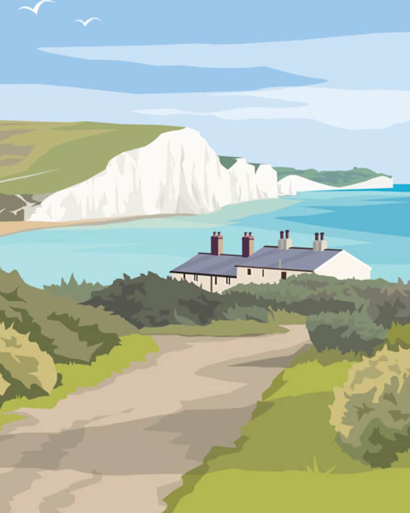
The South Downs National Park stretches from Winchester (Hampshire) to Eastbourne (East Sussex). It’s mostly known for its chalk downs, and beech woods that glow with copper hues, when autumn arrives. Many villages (like Amberley) lie nestled in the valleys, with old pubs and hidden churches giving a real example of old England.
This park is an International Dark Sky Reserve, free from light pollution. This attracts many wildlife species from butterflies to skylarks and shy deer (who hide in ancient woodlands). Barn owls can safely hunt at dusk, and local nature reserves help to protect rare bats, dormice and orchids.
The South Downs Way is a 100-mile national trail that runs across the heart of the park. It’s well-marked and open to walkers, taking you through open hills, secret valleys and quiet forests.
The New Forest (don’t disturb the wild ponies)
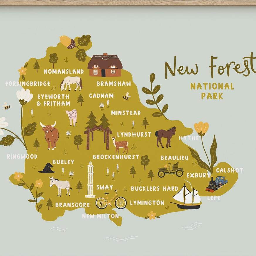
The New Forest is one of England’s National Parks, located in Hampshire and Dorset. It contains some of England’s oldest trees (some over 1000 years old) and large expanses of open heath, bog and grassland.
It’s one of the few places in England that’s home to all six native reptiles, and is also home to 75% of the world’s species of dragonflies.
Keep dogs away from mushrooms, conkers and spring bulbs). Don’t light fires, stoves or barbecues (wild camping is not allowed).
The New Forest Ponies are cared for by commoners (who benefit from right to graze animals). The New Forest Verderers employ five Agisters who ensure commoners abide byelaws, and oversee grazing ponies, livestock, cattle, donkeys, pigs and sheep (but not deer or other wild animals).
Do not touch or feed semi-wild New Forest ponies. Don’t let dogs approach or chase ponies or any other animals. Never use flash photography (use a zoom lens if taking photos).
Sick and injured animals can be reported to the Verderer and Agisters website. This page includes numbers to call and details of penalties, for failing to report incidents.
Ponies wander onto lanes and streets, so drivers must slow down and pay attention. Local signs warn visitors to watch out for ponies, especially at dawn and dusk, when they often cross busy roads.
Road Traffic Accidents involving ponies, cattle, donkeys, pigs and sheep must always be reported immediately to the Police on 999.
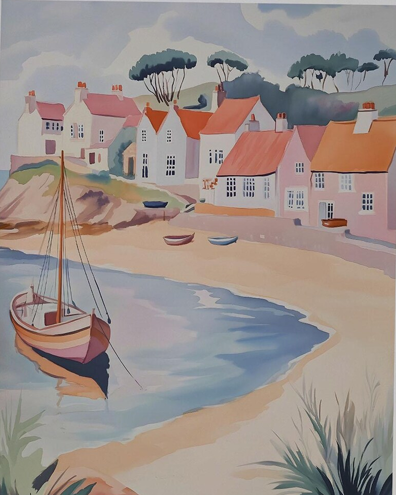
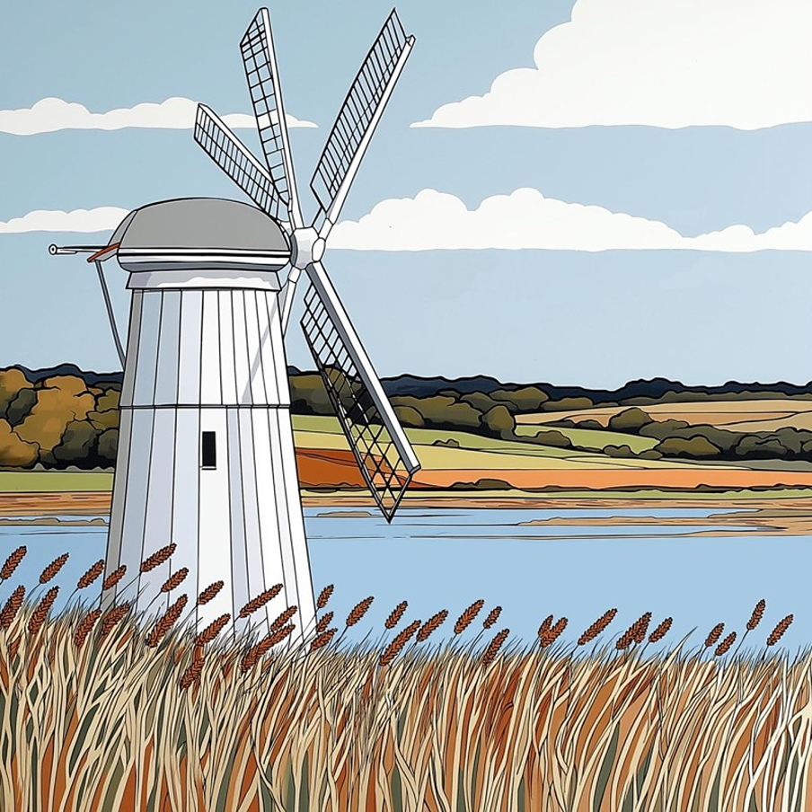
Norfolk and Suffolk Broads (manmade wetlands)
Known as ‘England’s Amazon’, the Broads are home to many creatures you likely won’t find elsewhere in England these days: bitterns, marsh harriers, swallow butterflies and fen raft spiders all find safe haven here. As do avocets, wading birds with unique upturned beaks.
The Norfolk Broads (manmade wetland waterways) are home to 25% of England’s birds and native wildlife (including rare Swallowtail butterflies).
There are seven rivers and over 60 broads (bodies of water). They span over 120 miles of rivers and lakes, created from flooded medieval peat diggings.
The Broads are also one of England’s most popular boating holiday destinations, so be a sustainable sailor, to protect local birds and wildlife. Canoeing is also popular, with plenty of quiet corners to explore. Moor up at a riverside pub, or just drift along and watch the world go by.
The Suffolk Broads
Wherry boats are the traditional way to get around here. Most rely on human power or wind, so they don’t pollute the water either. They also don’t have engine noise, a bonus for local wildlife.
Beccles is the main market town in the Suffolk Broads, sitting by the River Waveney. These streets have old buildings, little shops and cosy cafés. There are great views from the tall church tower in the centre of towns.
Dartmoor and Exmoor (small Devon parks)
Exmoor is England’s only National Park with a coast. It has the highest sea cliffs in mainland Britain and Tarr Steps (the longest remaining clapper bridge).
Never light fires, stoves or barbecues in National Parks (wild camping is not allowed).Both parks are home to wild ponies, so never disturb or feed them. For concerns, contact the Livestock Protection Officer (Dartmoor), Exmoor Pony Society (and Moorland Mousie Trust).
Here also you’ll find endangered butterflies (the heath fritillary is here, found in only four places in the UK, due to loss of habitat). Exmoor was Europe’s first International Dark Sky Reserve, the ancient landscape (some places over 200 million years old) home to herds of wild red deer.
Dartmoor is 954 square kilometres, making it one of southern England’s largest open spaces, home to over 160 granite tors. Much of this park is owned by Prince William (passed to him when his father became King).
Land campaigner Guy Shrubsole says a lot of this land needs to be rewilded, as it is ‘devoid of trees and birds for miles’. Campaigners say the ‘small potatoes’ offered is not enough to restore ‘England’s rainforest’
The Yorkshire Dales and North York Moors
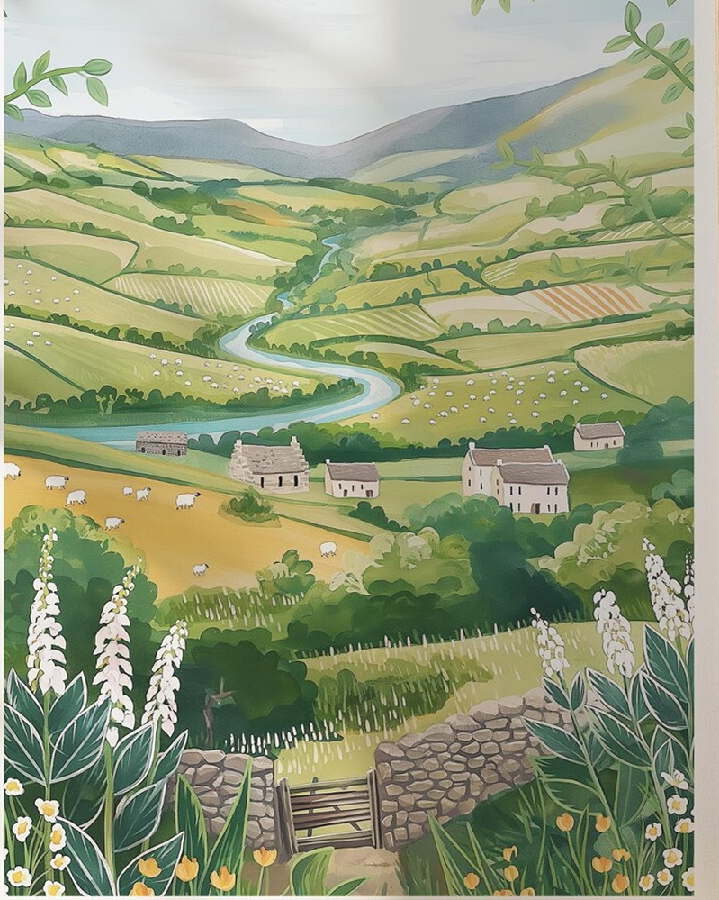
The Yorkshire Dales is home to many stone-built villages and dramatic waterfalls, amid heather moorland that stretches into Lancashire and Cumbria.
It’s home to 100 species of nesting birds, 30 species of mammals, 25 species of butterflies, 1000 species of moth and a unique moss not found elsewhere. Here also lives the brown long-eared bat (his ears much longer than his body!)
If out walking, always follow the Countryside Code, to keep all creatures safe.
The Dales has complex cave systems including Gaping Gill, which features the highest unbroken underground waterfall. Here you’ll also find the famed Settle-to-Carlisle Railway and its 24-arch Ribblehead Viaduct.
The word ‘dale’ is from the 12th century Old English/Norse ford for ‘valley’.
Alas today over 20% of the 13,000 plus buildings in the National Park are holiday homes, which prices local people out of buying their own homes, if they are on lower incomes than second home owners.
The North York Moors (heather and ancient trees)
The North York Moors are wild and open, stretching from Thirsk and Helmsley to the Yorkshire coast at Whitby. Some valleys are dense with pine forest, while late summer bring purple heather that rolls over high moorland. This historic natural haven is a haven for walkers.
If at the coast, read our post on keeping dogs safe by the seaside.
Covering 44,000 hectares, the North York Moors features on of England’s largest expanses of heather moorland, plus is home to many ground-nesting birds like golden plovers and merlins. It also has one of northern England’s largest concentrations of ancient trees.
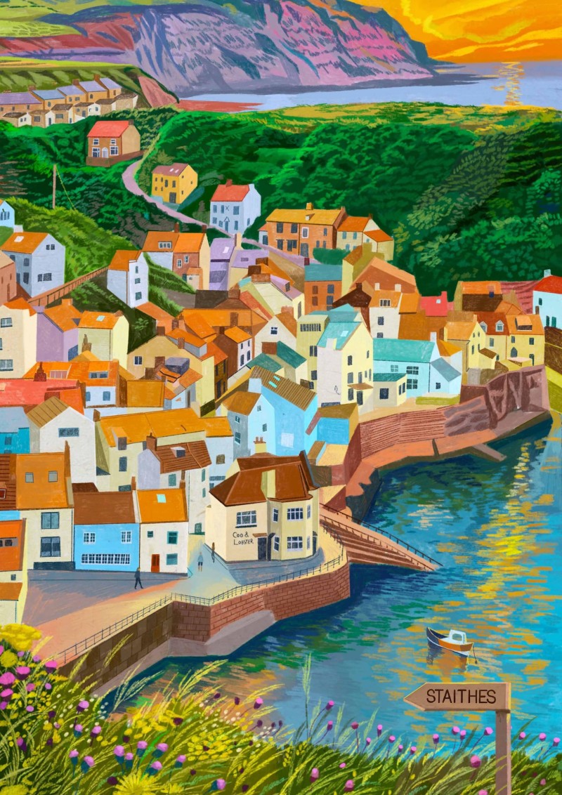
Not just inland, this National Park stretches to the Jurassic cliffs of the Yorkshire coast, with ancient villages like Staithes and Robin Hood’s Bay (where you paddle your toes, at then of Wainwright’s Coast-to-Coast Walk, which begins in St Bees in Cumbria.
Hikers can follow the horseshoe-shaped Cleveland Way, which winds around the park for 109 miles. You can also take in plenty of star-gazing, as the Moors are a designated International Dark Sky Reserve.