The Unique Geography of England’s Wild Storms
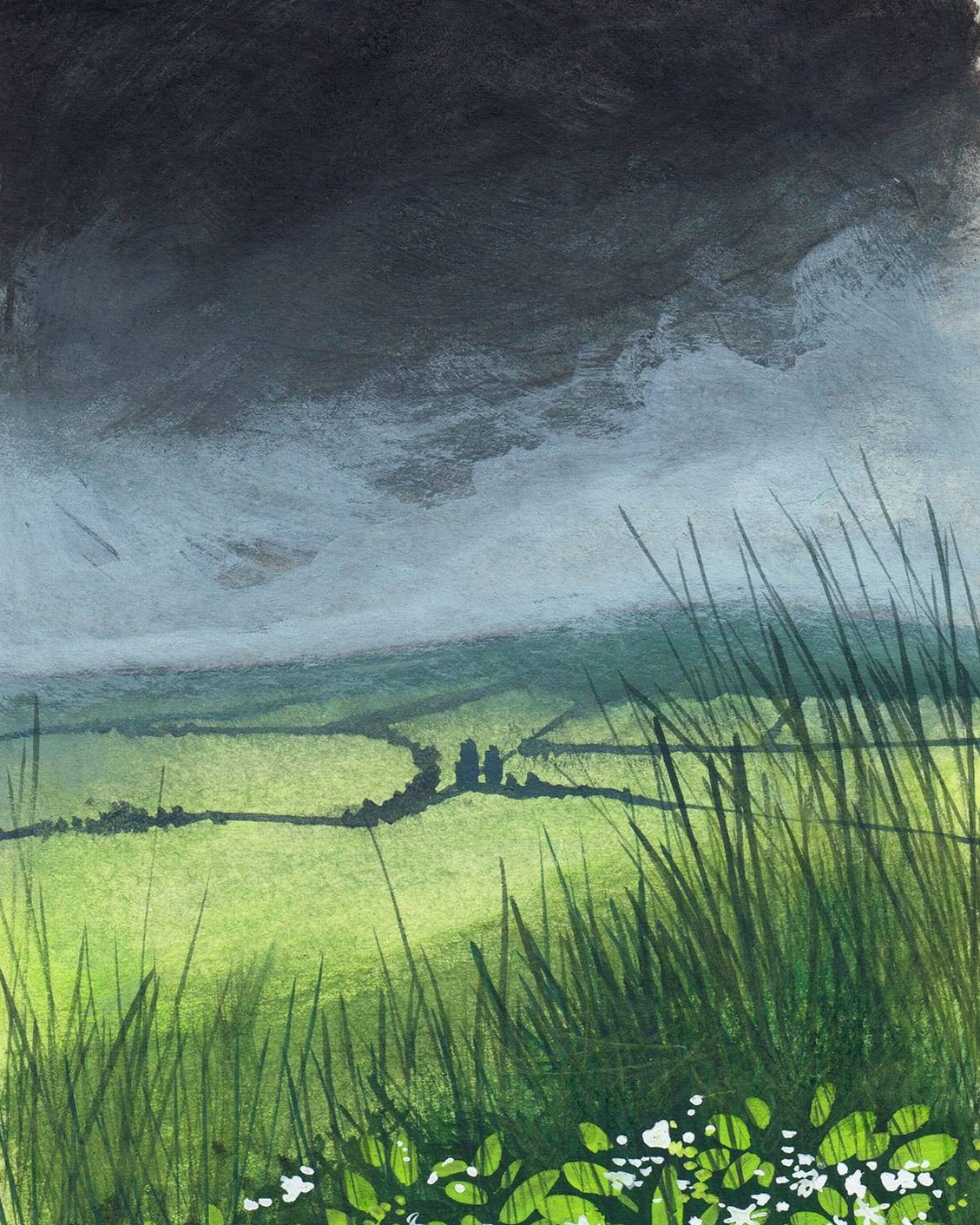
One minute it’s a grey, close afternoon. The next, the sky turns almost green-black, rain hits the windows, and thunder rolls across the street. In England, that shift can feel sudden.
- The southwest coast, especially Cornwall and Devon, regularly experiences high wind speeds. Here, the sea brings in storm after storm, with very little to slow the wind before it hits land.
- The Lake District and Yorkshire Moors also see frequent gales. Their steep valleys and exposed moorland give the wind a perfect pathway.
A mix of geography and weather patterns explains this. Locations with few trees, high ground, or lots of open water, like Morecambe Bay (has quicksand, so keep away), have less to block or slow the wind. Storms race in from the ocean, funnelling through gaps in the hills and picking up speed, making these pockets more storm-prone than the milder east.
The windiest place in the world is Antarctica, with winds of up to 150mph.
Why does England get so many storms?
England sits in a place where different kinds of air often meet. Cool air can arrive from the Atlantic, while warmer air may move up from the south or across Europe. When those air masses clash, the weather can turn unsettled fast.
That Atlantic moisture matters too. Damp air feeds cloud, rain, and heavy showers. Then, when a warm front or cold front moves through, the air starts to rise. Rising air cools, cloud builds, and storms can grow from there.
Spring and summer often bring the sharpest surprises. After a warm, sticky day, the atmosphere can feel tense, almost as if it’s holding its breath. If cooler air pushes in, that trapped warmth rises quickly. So you can go from bright sunshine to thunder and lightning in a short space of time.
Weather Warnings and Storm Naming
England’s storm forecasting has improved dramatically in recent years. The Met Office issues colour-coded weather warnings—yellow, amber, and red—to alert the public well in advance. The system is simple and easy to follow:
- Yellow means ‘be aware’ (check for updates)
- Amber means ‘be prepared’ (expect disruption)
- Red means ‘take immediate action (danger to life possible)
Warnings are shared on TV, radio, and through the Met Office app. If a red warning is announced, most local events and travel plans will shut down.
The public help in naming storms, which is done so that there is a simple system for safety on both land and sea. The storms are jointly named with weather forecasters in Ireland and The Netherlands, so everyone is hearing the same name, when hearing Severe Weather Warnings.
There are no storm names beginning with the letters Q, U, X, Y and Z, in line with the US National Hurricane Centre. In case they need to tell people of a storm on the other side of the pond.
What causes thunderstorms and lighting?
Thunderstorms occur when there are electrical discharges, these cause unstable air, resulting from warm air (and colder air underneath). This results in flashes of light and sound waves. Usually it also rains or hails. Or you may even get ‘thundersnow’.
The East Midlands receives the most thunderstorms in England. Worldwide, thunderstorms are more common in hot and humid weather, like rainforests. Venezuela has the most thunderstorms on earth, often receiving them for over 150 nights a year, lasting up to 10 hours.
To determine how far away a thunderstorm is, count the seconds from the lighting flash to the thunder boom. Divide by five, and you’ll know how many miles away you are from the storm.
Safety tips during thunderstorms
Avoid umbrellas in thunderstorms, along with keeping a safe distance from metal objects (golf clubs, motorbikes, wheelchairs, tent poles) and from trees (and tallest objects ).
Prepare your home in advance:
- Trim trees and shrubs
- Secure or move loose objects indoors (bins, garden furniture)
- Board up windows in exposed locations
Emergency supplies like torches, spare batteries, bottled water, and basic first aid kits should be ready, especially in rural areas where power cuts may last.
- Head indoors, if you can. Stay away from windows and doors (lighting can travel, and flying debris from strong winds can break windows). If less than 30 seconds pass between lightning and thunder, seek shelter for at least 30 minutes
- Avoid using plugged-in computers, TVs, phones or any wired device (charge devices beforehand or use battery power only). Turn off the mains switch, if safe to do so. Or use surge protectors.
- Skip showers, baths and washing dishes (or any running water).
- Keep a safe distance from trees (and open space and hilltops) and metal objects (umbrellas, golf clubs, motorbikes, wheelchairs, tent poles).
- Stay inside cars (usually). People in convertibles with fabric tops should find a safe building, as the fabric could catch fire, if struck).
- Concrete walls and floors (like basements) often have metal bars or wires. Sit on a chair, or use a non-metal mat, to avoid direct contact.
If exposed to lighting, squat close to the ground with hands on knees, and tuck your head between them, touching as little of the ground with your body (don’t lie down). If your hand stands on end, drop to the above position immediately.
Pets are often terrified of thunder, so bring them indoors if you can, and sit with them in a secure quiet room, closing the windows and curtains.
Barn animals (cows, horses, goats, chickens) can also be led sheds or barns, ensure they eat beforehand. Use surge protectors during storms. And it’s best to avoid turning on the lights. Ensure the doors and fences are strong. And leave soft bedding (like straw) on the floor, with plenty of fresh water nearby.
Storms in a changing climate
There is mounting evidence connecting rising temperatures to more frequent and severe gales in England. The Atlantic Ocean is noticeably warmer than in previous decades. The jet stream is changing shape more often, looping or speeding up, which sometimes means one stormy week after another. This results in storms that pack more punch or arrive at odd times of the year.
While England will never see hurricanes like those in Florida or the Caribbean, the ripple effects from those powerful systems can cross the Atlantic. Some hurricanes lose steam, transform into powerful lows, and still bring strong winds and rain.
Modern forecasting tools, such as high-resolution weather models and radar, provide earlier and more accurate alerts. Emergency planners use these forecasts to protect vulnerable infrastructure. Communities are reinforcing flood defences, updating building codes, and investing in resilient transport systems.